Category: Water

The Enchanting Blue Hour

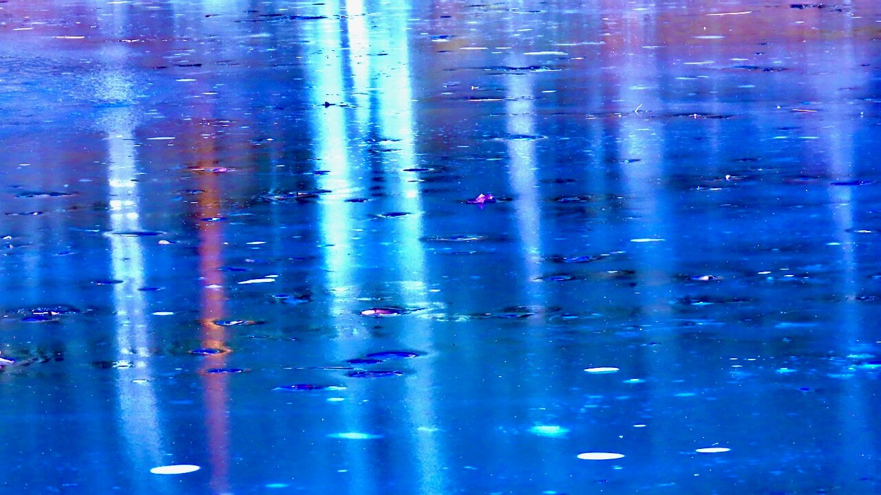
Photographers love the “blue hour”, and I was lucky to capture this phenomenon on Solstice Evening. The blue hour is the period just before or just after the sunset. During this time, the landscape, including frozen ponds like this one, is bathed in deep blue light. In northern climates this phenomena often occurs in the colder months.

Wildlife Pond, Mass Audubon Wachusett Meadow

Beavers have kept a stream of water open. It leads to a water hole on the far left. They use this opening to crawl onto the ice.

A close up of the beaver’s hole. Notice the small sticks and branches left on top of the ice.

Ice Breaker

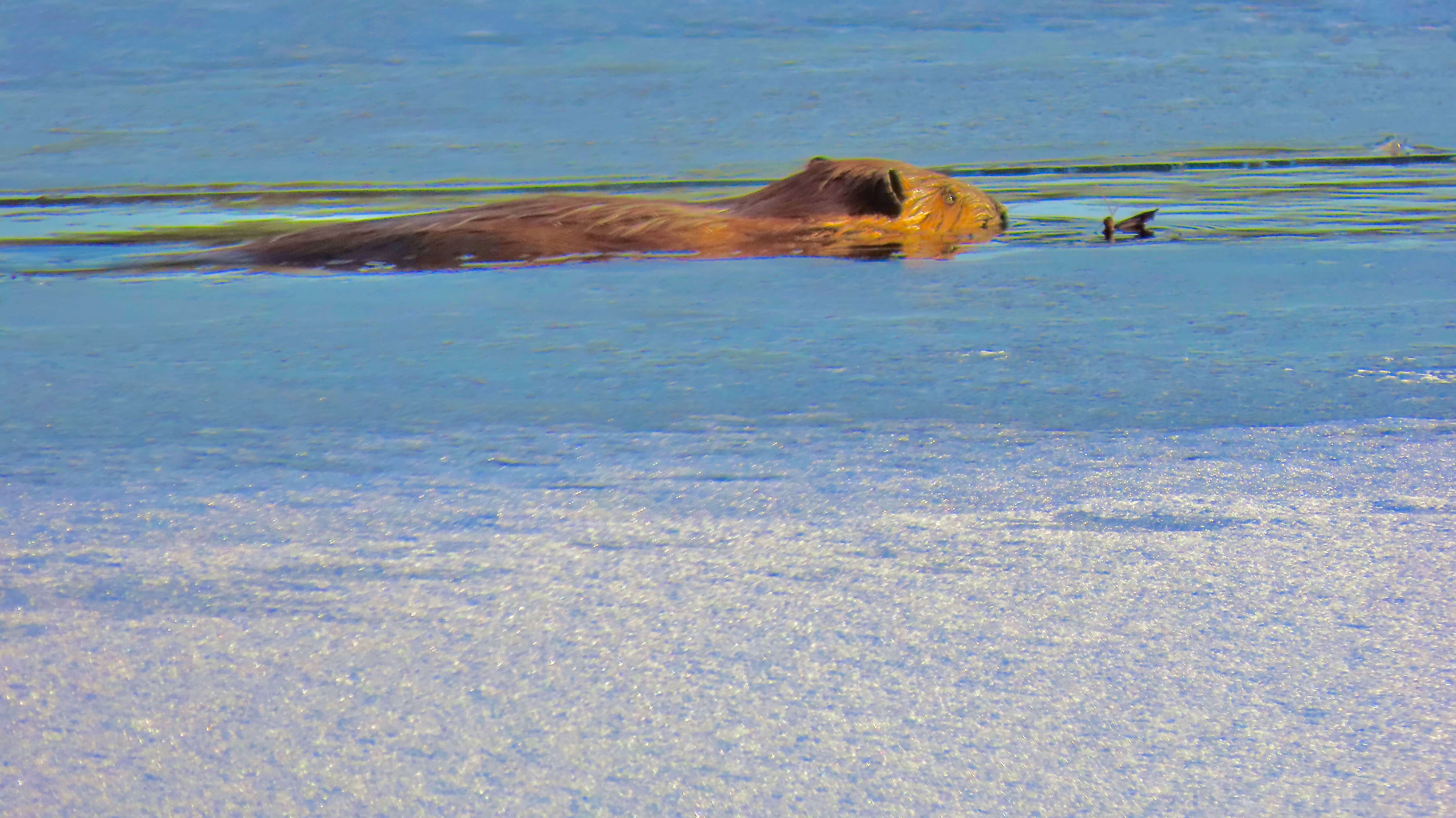
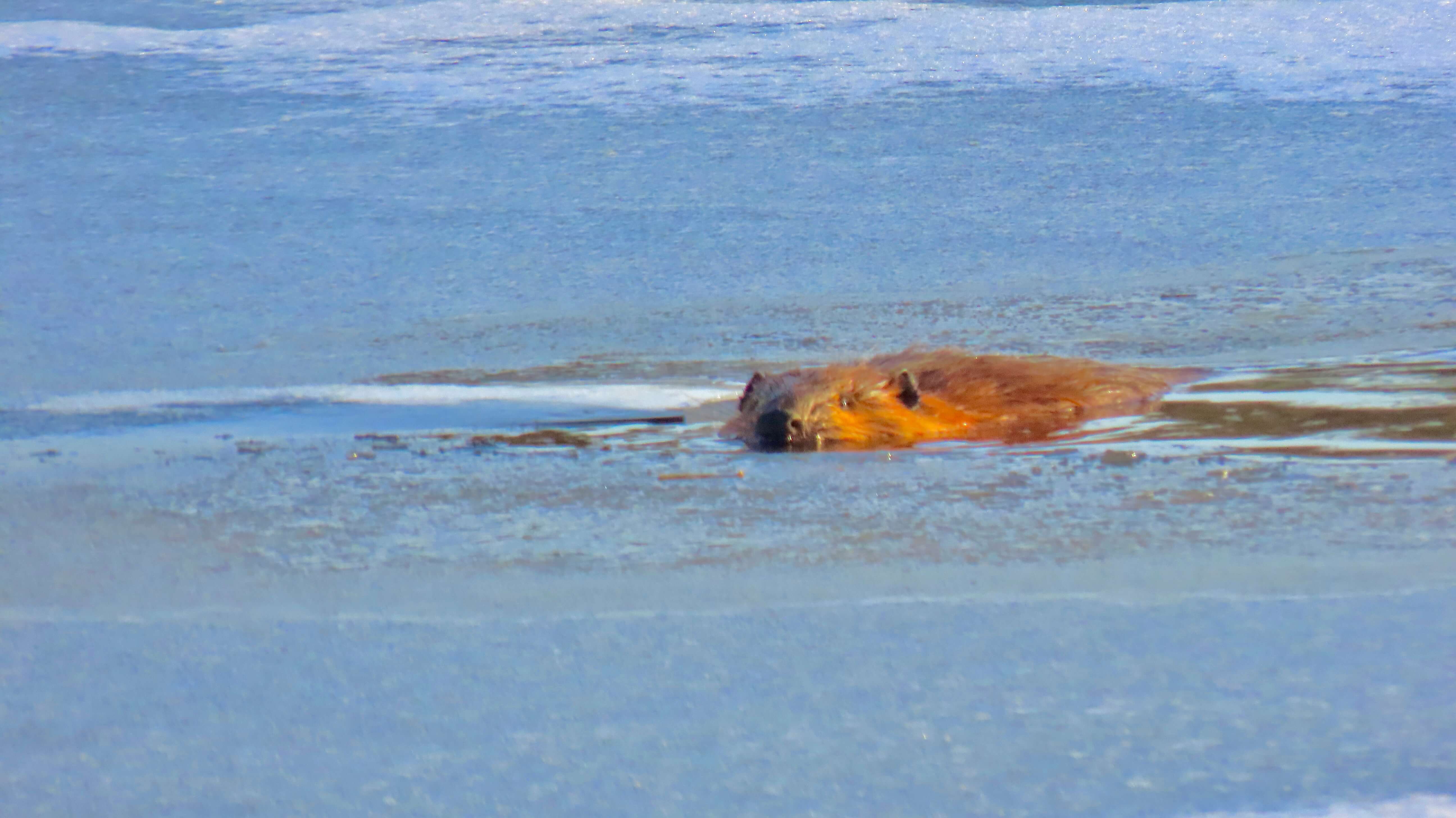
An icy pond at Wachusett Meadow Wildlife Sanctuary won’t stop this beaver from “going out for dinner”.
A beaver can break off large chunks of ice with its body, chew off smaller pieces, or swim underneath the ice to churn up warmer water from the bottom.
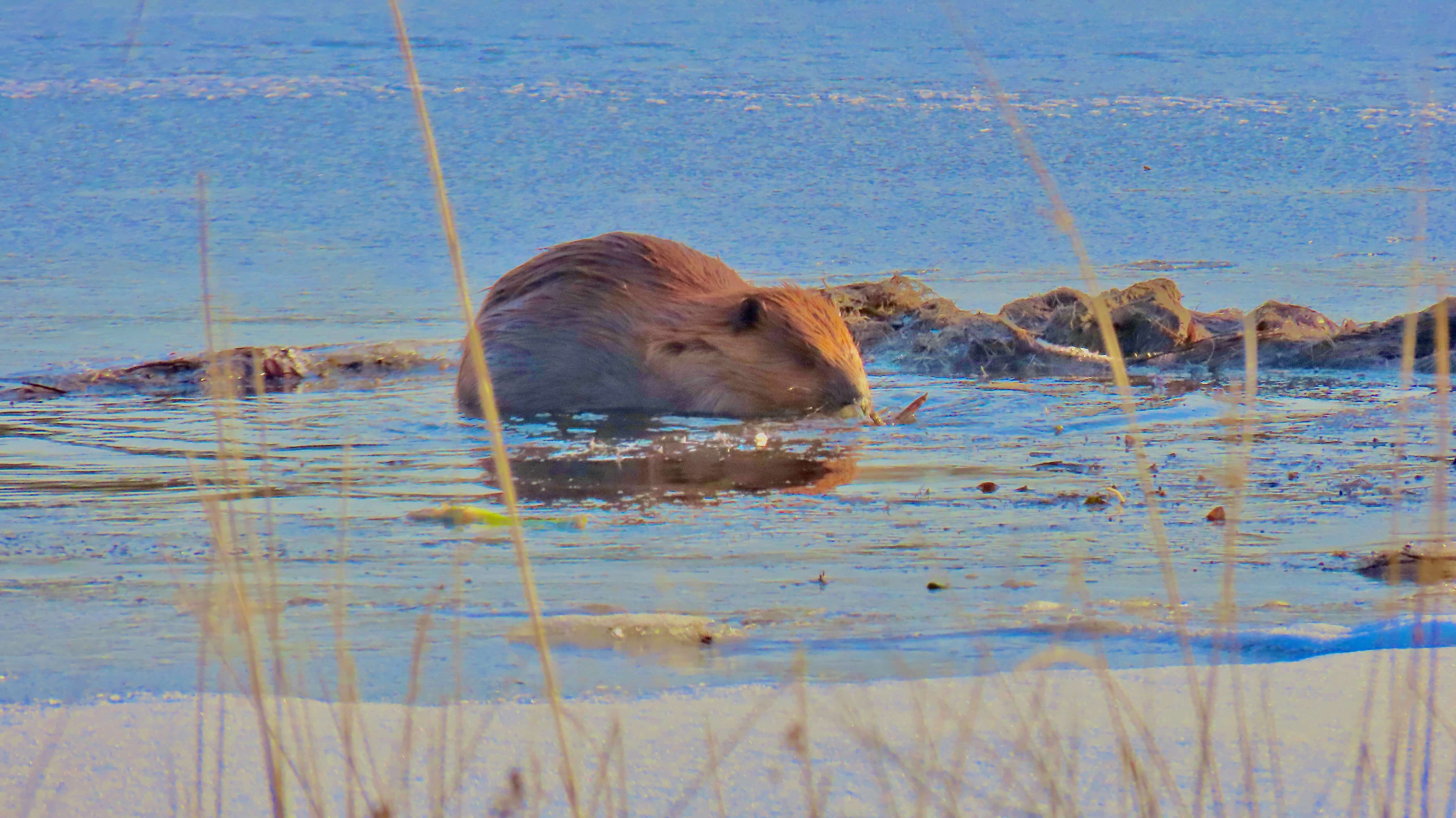
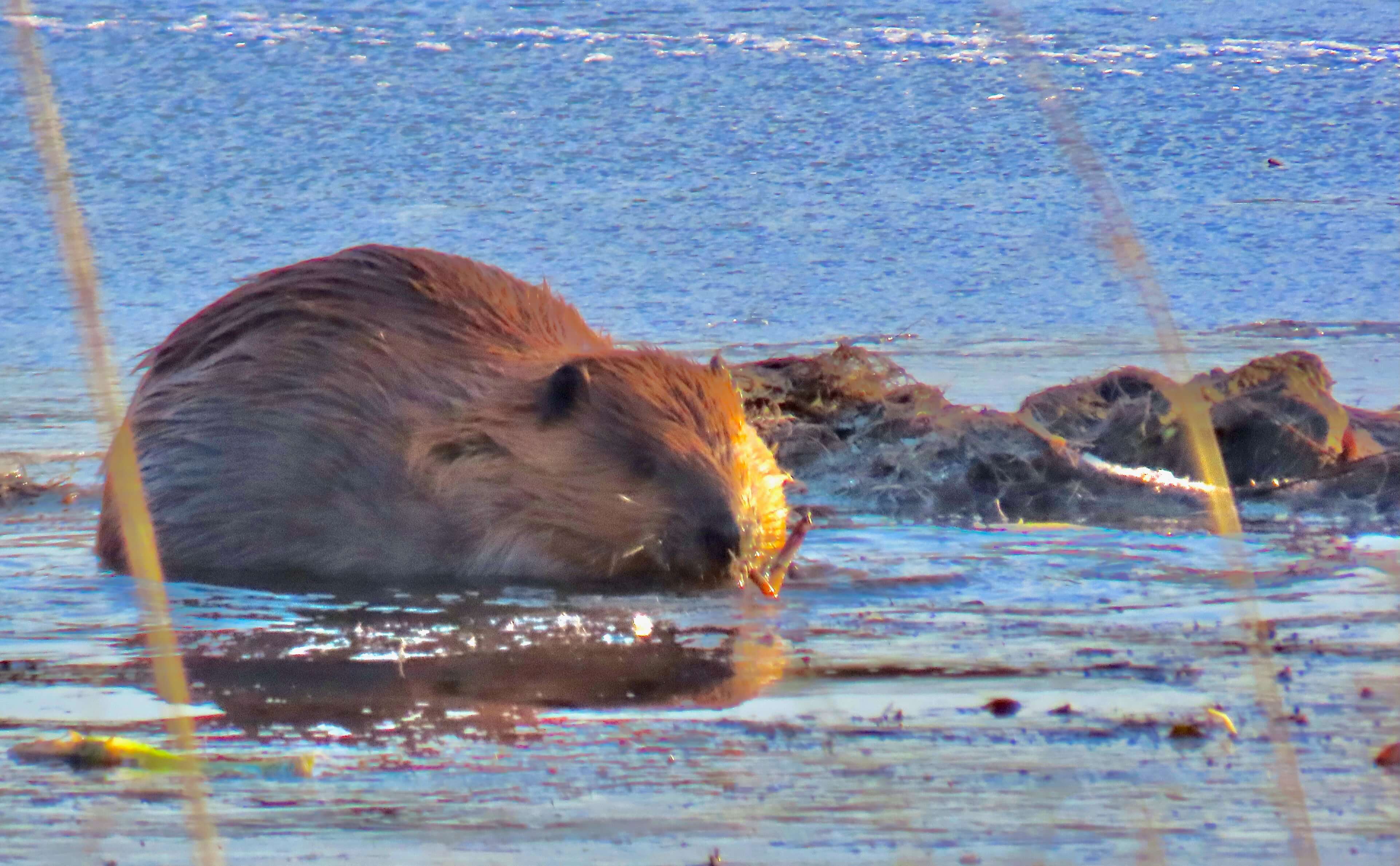
Aquatic plants can be dinner for a beaver, along with bark, bushes and grasses.
This beaver is likely munching water lily roots in the last of the late afternoon sun.

Time to head home…
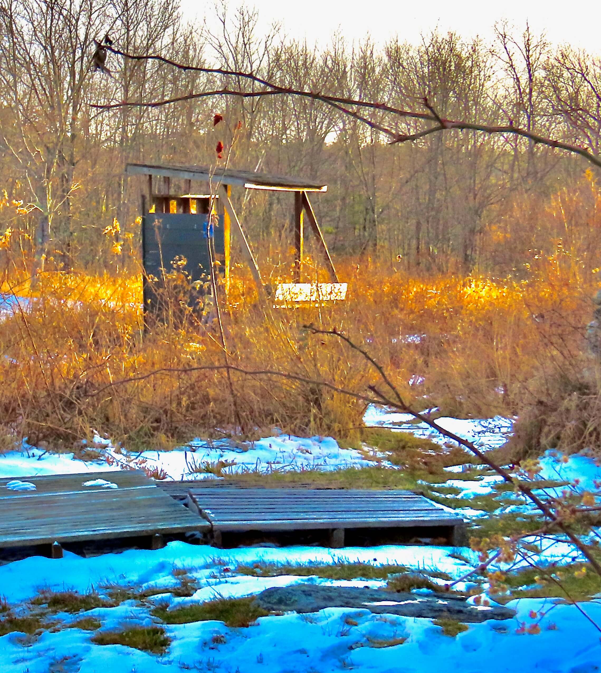
Past the bird blind….
Near the Wood Duck box….
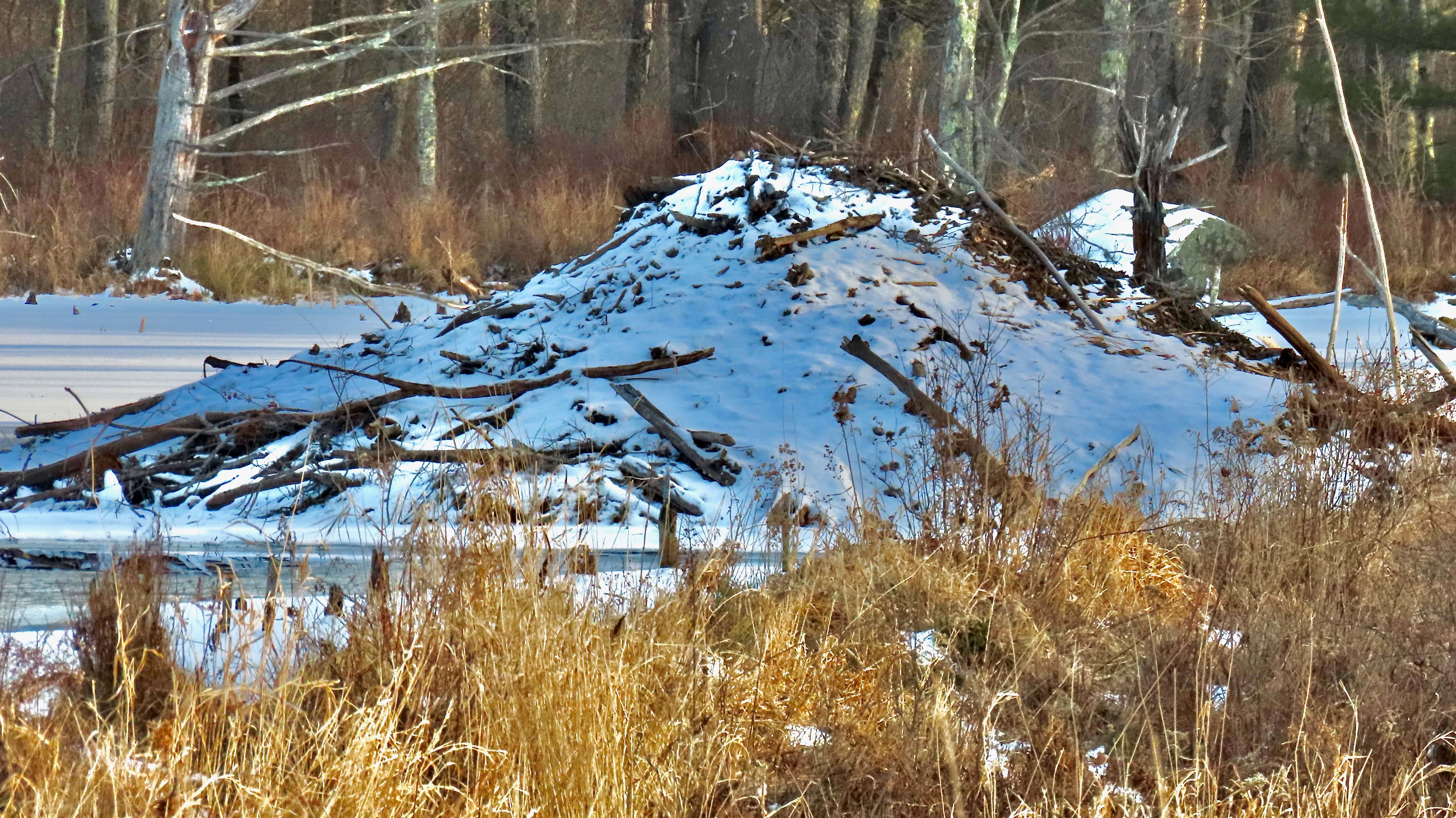
And finally, home!
The beaver has left behind a perfect trail to visit another day, but human visitors, beware!

Winsor Dam

The Winsor Dam and the Goodnough Dike impound the waters of the Swift and Ware Rivers, forming the Quabbin Reservoir, the largest water body in Massachusetts. The dam is one of the largest in New England.

A hilly walkway leads up to the dam.
View from one end of the top of the dam to the wide walkways and green spaces below.

Walking across the dam is a popular activity in the park.

Quabbin Reservoir as seen from one end of the dam. It is 18 miles long and up to six miles wide.
The 412 billion gallon reservoir is the largest man-made reservoir in the world devoted solely to drinking water supply.
From 1938-1946 four towns were flooded to create this vast reservoir. It supplies over 40% of Massachusetts with drinking water.

Water can form waves on windy days.

Quinnetuket Picnic

“Quinnetuket” is the Native American word for Connecticut, and means “beside the long river”. The Connecticut River is the longest river in New England, flowing southward for 406 miles through four states. As it runs through Northfield, Massachusetts, the Riverview Picnic Area provides a wonderfully scenic place for a picnic in any season.

More Than Water

Quabbin Reservoir is one of the largest unfiltered water supplies in the United States. The 412 billion gallon reservoir covers 39 square miles with 181 miles of shoreline, providing 3 million people with drinking water. And yet, a visit to the reservoir offers so much more than water!

Birders can see Bald Eagles and other birds from the Enfield Lookout. The former town of Enfield was abandoned to make way for the reservoir.
Foliage and water view from the Enfield Lookout.
New Hampshire’s Mt. Monadnock as seen from the Lookout.
Water views from the Main Gate.

Although the foliage is past peak, the woods glow with golden and brown tones.

The Quabbin Tower provides an expansive view of the reservoir.
Miles of hiking trails are perfect for those who prefer off-the-road treks.
Numerous picnic and scenic areas provide a welcome rest.

Trails of different levels of difficulty offer something for everyone.

Quabbin is known as a prime destination for photographers.
The Quabbin Spillway is much dryer than in previous years.

Great views from the Winsor Dam are accessible to all.

Watershed Walk

Wachusett Reservoir Watershed Tributary Headwaters Zone, Mason Farm, Holden, MA

The expansive fields of the Wachusett Reservoir Watershed Zone are open to the public for hiking and bird watching. The extended hill climb leads up to a noted former dairy farm.

Ice Hike

A “cool” surprise awaited me on a recent return trip to the Mass Rail Trail at Charnock Tunnel.

An arctic blast greeted me on a visit to the Charnock Tunnel, a section of the Mass Central Rail Trail in Rutland, MA.

The recently painted mural inside the railroad tunnel is in stark contrast to the ice just feet away.

Hiking sticks are a must on this trail.

“Many Waters”

The Quabbin Reservoir takes its name from the Algonquin word meaning “many waters”.

The Quabbin Reservoir is one of the largest unfiltered water supplies in the United States, providing drinking water for 3 million Massachusetts residents. It covers 39 square miles with 181 miles of shoreline.
“Quabbin” is an Algonquin word meaning “many waters”. The word was used by the Nipmucs, who first inhabited this area of Massachusetts. Built between 1930 and 1939, the reservoir is the largest inland body of water in Massachusetts. It is a primary water supply for Boston, 65 miles to the east.
At the Enfield Lookout, New Hampshire’s Mt. Monadnock can be seen in the distance.

More than 50 access gates surround Quabbin, giving visitors access to the over 200 miles of forest roads throughout the watershed.

Quabbin Reservoir

“Quabbin Reservoir is one of the largest man-made public water supplies in the United States. Created in the 1930s by the construction of two huge earthen dams, the reservoir is fed by the three branches of the Swift River, and seasonally by the Ware River. Quabbin’s water covers 39 square miles, is 18 miles long and has 181 miles of shoreline. When full, Quabbin holds 412 billion gallons of water.

The New Salem and Enfield lookouts offer magnificent views of the reservoir. In order to flood the vast area of the Swift River Valley in the 1930s, the entire population of four towns had to be relocated. Hundreds of homes, businesses, a state highway, a railroad line, and 34 cemeteries were also moved or dismantled. Over 6,000 graves were relocated from the Valley to Quabbin Park Cemetery.”